
Beyond Cell Service: The 5 Best Offline GPS Trackers for Horse Riders (2026 Remote Trail Guide)
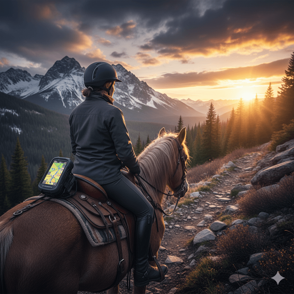
In 2026, Offline GPS Trackers for Horse Riders are the only reliable defense against navigation failure in remote terrain. Relying on a smartphone alone is a single point of failure: standard Lithium-ion batteries experience severe voltage drops below 5°C (41°F), often crashing from 40% to 0% instantaneously. Furthermore, fragile glass screens and unreliable cellular coverage in wilderness areas make smartphones a liability, not an asset. Dedicated hardware, such as the Garmin Montana 700i, utilizes chemically stabilized power cells designed for extreme environments, ensuring continuous operation where consumer electronics fail.
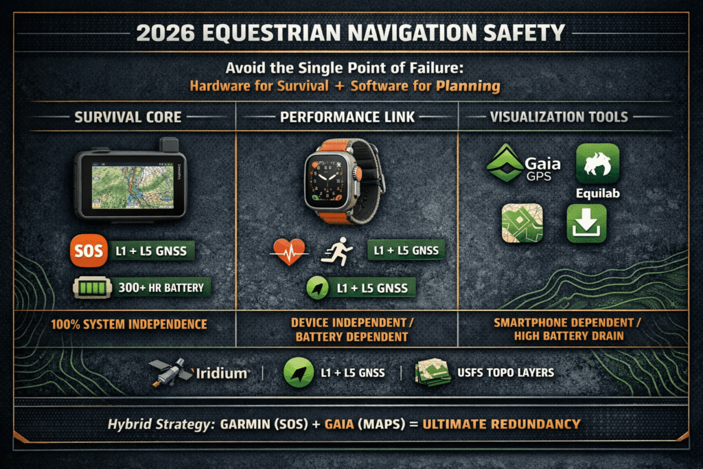
While software ecosystems provide rich mapping layers, this guide emphasizes the critical hierarchy of safety: standalone hardware for survival and specialized apps for advanced trail planning.
Garmin Montana 700i: The Professional Navigation Standard
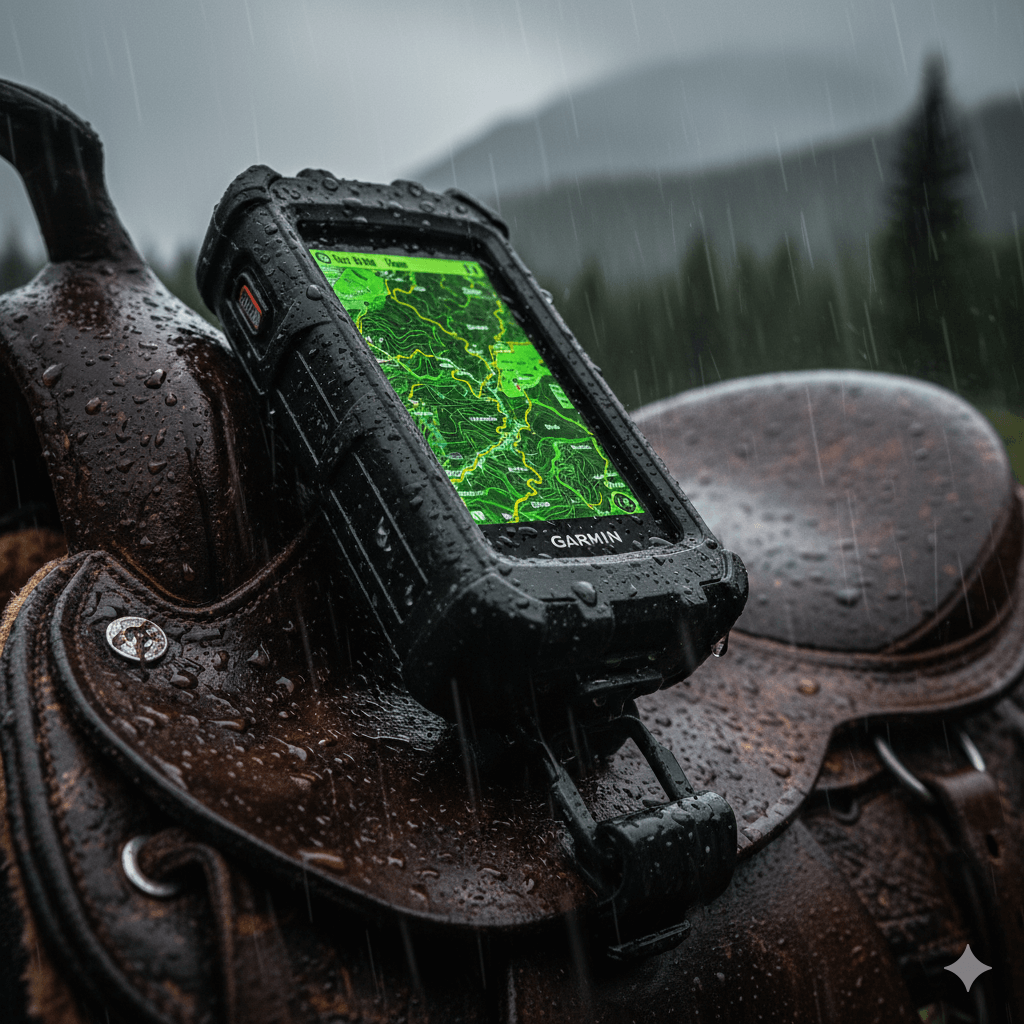
The Garmin Montana 700i is a rugged handheld GPS that integrates inReach satellite communication over the Iridium network, providing 100% global coverage. Unlike smartphone-dependent tools, its Dual-Band GNSS (L1 + L5) ensures high-accuracy tracking in dense forests, deep valleys, and other GPS-challenged terrain where single-frequency devices fail.
Technical Features:
- Satellite Ecosystem: Iridium network connectivity for two-way messaging and 24/7 SOS monitoring.
- Multi-GNSS Precision: Simultaneous reception of L1 and L5 frequencies for sub-meter position and altitude accuracy.
- Expedition Mode: Up to 330 hours (~13 days) of battery life; however, professional riders should note this reduces tracking frequency. Standard “High-Detail” tracking offers roughly 18-24 hours.
- Rugged Interface: A 5-inch, dual-orientation glove-friendly touchscreen designed for use in rain, mud, and extreme temperatures.
- System Independence: 100% standalone hardware; provides full topographic mapping without a smartphone.
Use Case: Multi-day wilderness expeditions, endurance training, and high-stakes solo rides where total hardware independence is a safety requirement.
Zoleo Satellite Communicator: The Dedicated Messaging Link
The Zoleo is a compact, high-reliability satellite communicator designed for riders who prioritize communication over integrated mapping. Its core innovation, Seamless Messaging, automatically bridges the gap between Satellite, Cellular, and Wi-Fi networks—ensuring your messages are delivered via the most cost-effective path without manual intervention.
Technical Features:
- Network Intelligence: Seamless switching ensures no message “gaps” when moving between cell zones and deep wilderness.
- Dedicated Connectivity: Provides a permanent, dedicated SMS number and email address, allowing family to reach the rider directly.
- Satellite SOS & Check-in: Features dedicated hardware buttons for SOS and “I’m Okay” check-ins that work 100% independently of a smartphone.
- Battery Profile: Offers ~200 hours in standby and ~55 hours of active use (based on 20-minute message checks).
- Economic Advantage: Lower initial hardware investment (~$200) compared to full-mapping handhelds.
Critical Limitations:
The Zoleo contains Zero on-device mapping. Navigational displays, topographic maps, and trail tracking require a paired smartphone. If the smartphone fails (battery/screen/cold), the rider retains communication and SOS capability but loses all visual navigation.
Use Case: Solo riders on familiar trails or endurance athletes who prioritize a “Safety Link” to home over complex wilderness navigation.
Apple Watch Ultra Series
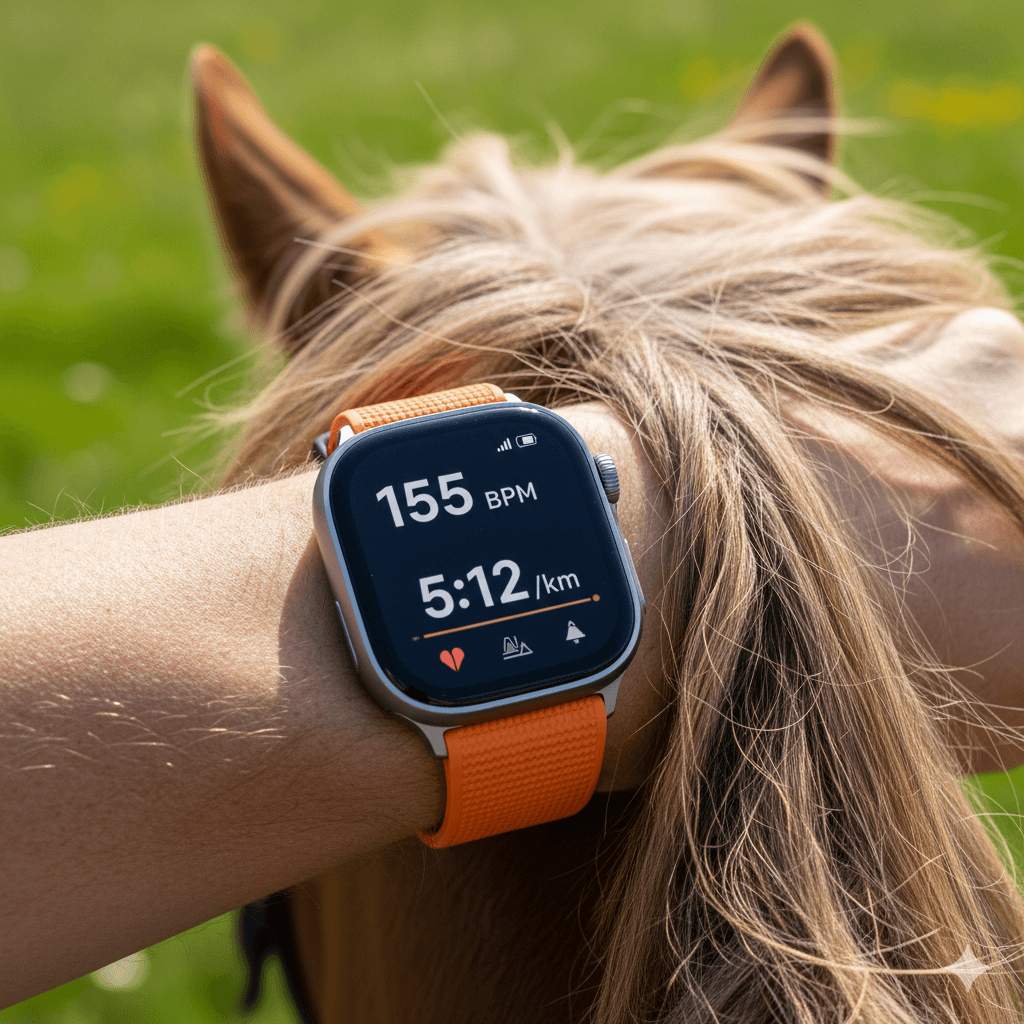
The Apple Watch Ultra (Series 2 & 3) represents the pinnacle of wearable navigation, featuring Dual-Band GNSS (L1 + L5) for high-precision tracking. While it offers impressive features like Waypoints and Backtrack, it remains a consumer electronic device that sits in a different category than dedicated wilderness hardware.
Technical Reality Check:
- Active Tracking Battery Life: While Apple claims 36–72 hours, continuous GPS tracking with topographic maps typically reduces battery life to 12–18 hours. For multi-day wilderness trips, the Ultra is a secondary tool that requires a daily recharge via a portable power bank.
- Operational Limitations: The 3000-nit display is industry-leading, but the small screen size makes complex route planning and terrain analysis difficult compared to a 5-inch handheld unit.
- System Dependency: Full functionality, including detailed map downloads and safety features, is heavily dependent on iPhone pairing and the Apple ecosystem.
- Ruggedness: Excellent titanium build and sapphire crystal, but remains vulnerable to “total system shutdown” in extreme sub-zero temperatures where dedicated Garmin units prevail.
Use Case: Day-trippers, fitness-focused riders, or “Urban-to-Wilderness” hybrid explorers. It is an exceptional backup navigation tool but should never be the primary lifeline for a multi-day, off-grid expedition.
Software Solutions: The Ecosystem | Equilab Premium
Overview:
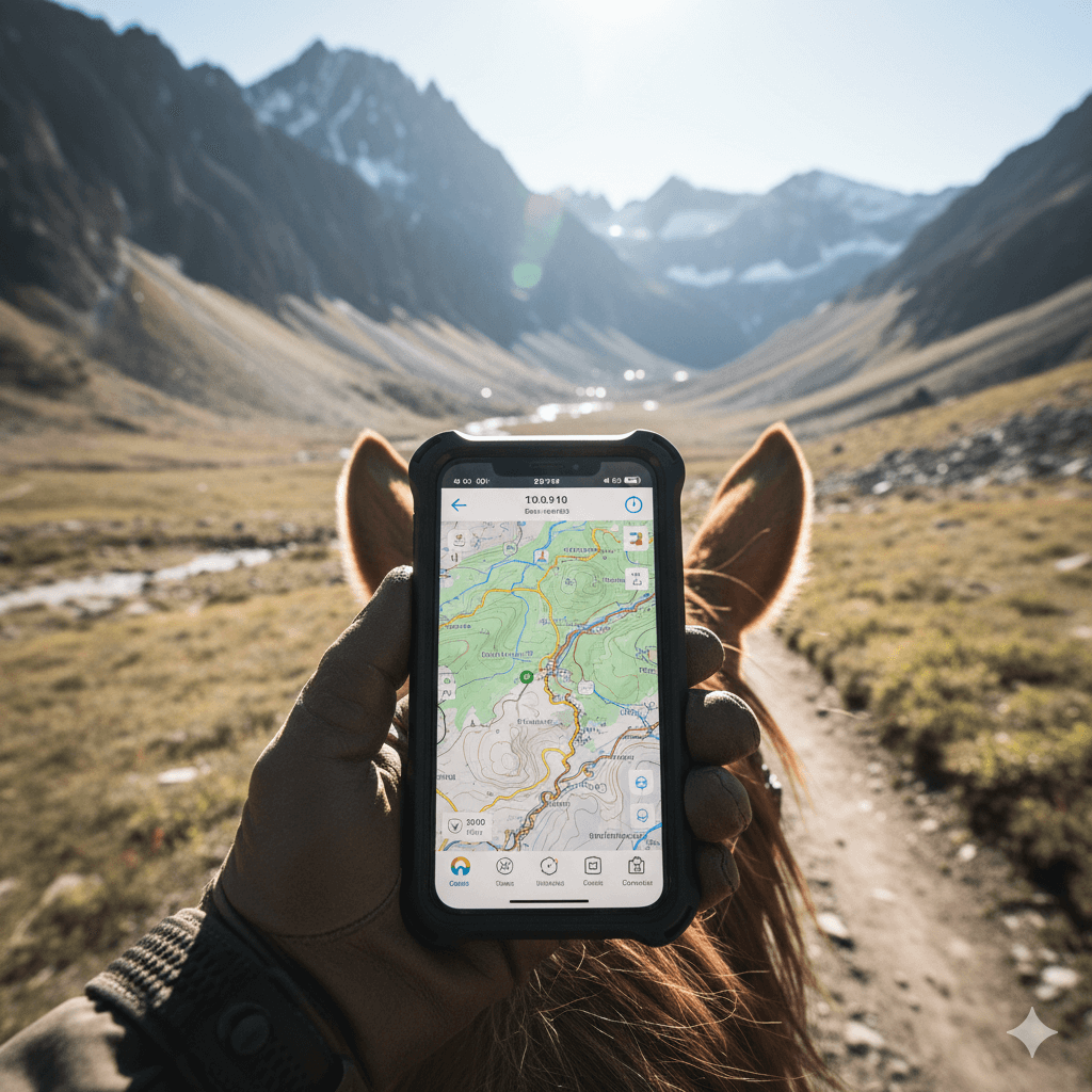
As a software-centric alternative to dedicated hardware, Equilab Premium leverages smartphone sensors to provide Offline Maps and Safety Tracking. It is designed for riders who prioritize integration over device independence.
Technical Integration:
- Safety Mechanism: Uses the phone’s internal accelerometer for fall detection and GPS for live position sharing.
- Connectivity: Offline caching allows for navigation in “dead zones,” though it lacks the satellite redundancy found in dedicated SOS devices.
- Power Management: High battery drain is the primary trade-off; it is strictly Smartphone Dependent, requiring an external power source for long-distance endurance.
The Verdict:
An ideal entry-level safety solution for solo riders in areas with moderate cellular fringe, providing a cost-effective layer of security without additional hardware.
ners, and endurance athletes needing safety tracking and offline route planning, while managing smartphone battery carefully.
Software Solutions: Topographic Precision | Gaia GPS
The Landscape in 2026:
Following the official discontinuation of National Geographic map layers in 2025, Gaia GPS has transitioned to USFS (U.S. Forest Service) Roads & Trails as its primary equestrian-focused infrastructure. This specialized layer is critical for modern riders, as it allows for trail filtering based on “allowed use” protocols—ensuring that backcountry navigation remains both legally compliant and safe for horses in protected wilderness zones.
Technical Performance:
- Navigation: Provides superior topographic detail and land boundary overlays, critical for backcountry navigation where cell service is non-existent.
- Battery Trade-off: High power draw remains a bottleneck. Field tests show a smartphone running Gaia GPS can drain up to 25x faster than a dedicated Garmin GPSMAP 67i in active tracking mode.
- Reliability: While offline caching is robust, the system remains Smartphone Dependent, making it a secondary tool rather than a primary survival device in extreme conditions.
Use Case:
The “Gold Standard” for long-distance trail planning and terrain awareness. Best used in conjunction with a dedicated wearable to offload GPS tracking and preserve phone battery for emergencies.
The Ultimate Comparison Table
| Product | Tech Type | Offline Reliability | Battery Life | System Independence | Best For |
|---|---|---|---|---|---|
| Garmin Montana 700i | Satellite + GNSS | Excellent (Native maps + messaging) | Up to 330 hrs (Expedition Mode) | 100% Standalone | Multi-day wilderness, professional endurance |
| Zoleo Communicator | Satellite | Very Good (Dedicated SOS + Check-in) | ~200 hrs Standby | Partial (App dependent for maps/text) | Budget-conscious solo riders, emergency link |
| Apple Watch Ultra 3 | Dual-Band GNSS | Good (Waypoints & Backtrack) | 36 hrs (Normal) / 72 hrs (Low Power) | Device Independent (Wrist-worn) | Short trail rides, backup nav, fitness tracking |
| Equilab Premium | App / Offline Maps | Very Good (Offline caching) | High Power Drain (Phone-based) | Smartphone Dependent | Trainers, solo riders needing safety tracking |
| Gaia GPS | App / Offline Maps | Excellent (Topographic layers) | High Power Drain (Phone-based) | Smartphone Dependent | Detailed trail planning, backcountry navigation |
Note: Riders should be aware that smartphone-reliant apps represent a single point of failure; they are highly susceptible to sudden shutdowns caused by cold-weather voltage drops in Lithium-ion batteries or rapid depletion during continuous GPS pings.
Hybrid Strategy: For maximum safety, pairing a Garmin Montana 700i with Gaia GPS or Equilab Premium creates a robust redundancy system. This combines 100% standalone reliability for emergency SOS and tracking with the rich topographic visualization and performance analytics provided by high-tier mobile software.
Expert Buying Verdict: Matching Tech to Your Ride
Rider Profiles:
- The Solo Wilderness Adventurer: Garmin Montana 700i is the gold standard for 100% standalone navigation and SOS. Supplement with Gaia GPS for high-resolution topographic visualization when cellular signal is non-existent.
- The Budget-Conscious Explorer: Zoleo Satellite Communicator offers the most reliable, low-cost satellite messaging and emergency safety. Note: Pair with a rugged power bank to ensure your smartphone remains functional for Zoleo’s app-based messaging.
- The Endurance Competitor: Use the Apple Watch Ultra 3 (utilizing Dual-Band GNSS for precision) paired with Equilab Premium for real-time performance analytics and gait tracking on short to medium-distance competitive loops.
- The Backcountry Planner: Rely on Gaia GPS with USFS offline maps for deep terrain awareness and land boundary tracking. For maximum safety, always combine this with a Garmin Montana to eliminate the “smartphone-only” single point of failure.
Conclusion: Evidence-Based Navigation in 2026
By 2026, equestrian trail riding has evolved to depend on evidence-based navigation that is resilient to environmental stressors and hardware failures. Dedicated hardware featuring Dual-Band GNSS and cold-weather optimized batteries, when combined with sophisticated offline-capable software, ensures riders can explore remote backcountry with a true safety net.
Offline GPS Trackers for Horse Riders are no longer optional accessories—they are critical components of modern equestrian safety technology, essential for performance monitoring, emergency SOS, and reliable navigation in all conditions.ng battery independence, offline reliability, and cost-effective solutions for 2026 trail riders.